

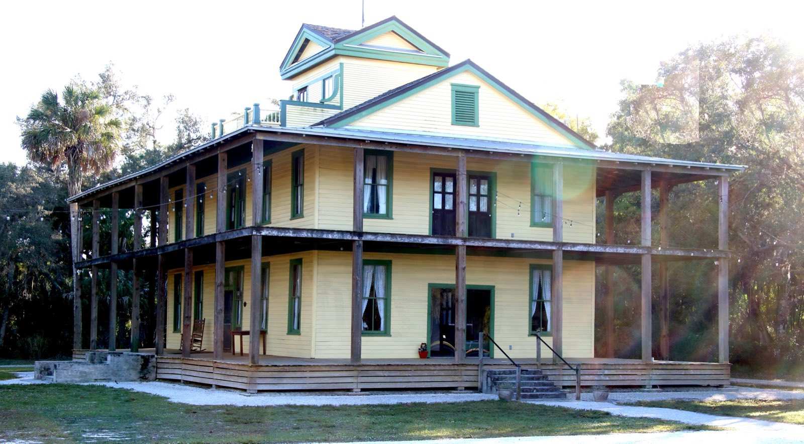
Living in Estero
Estero is a village in Lee County, incorporated on December 31, 2014, between Bonita Springs to the south and San Carlos Park to the north. The spring-fed Estero River runs through it to Estero Bay. Buyers come for gated golf and master-planned communities, with the airport and the beaches close by.
By Alejandro Muguercia · UpdatedGolf clubs and master-planned communities
Most of Estero is gated golf and country club communities and master-planned neighborhoods, from coach homes and villas to bay-front estates and high-rise condos.
A river, a bay and beaches nearby.
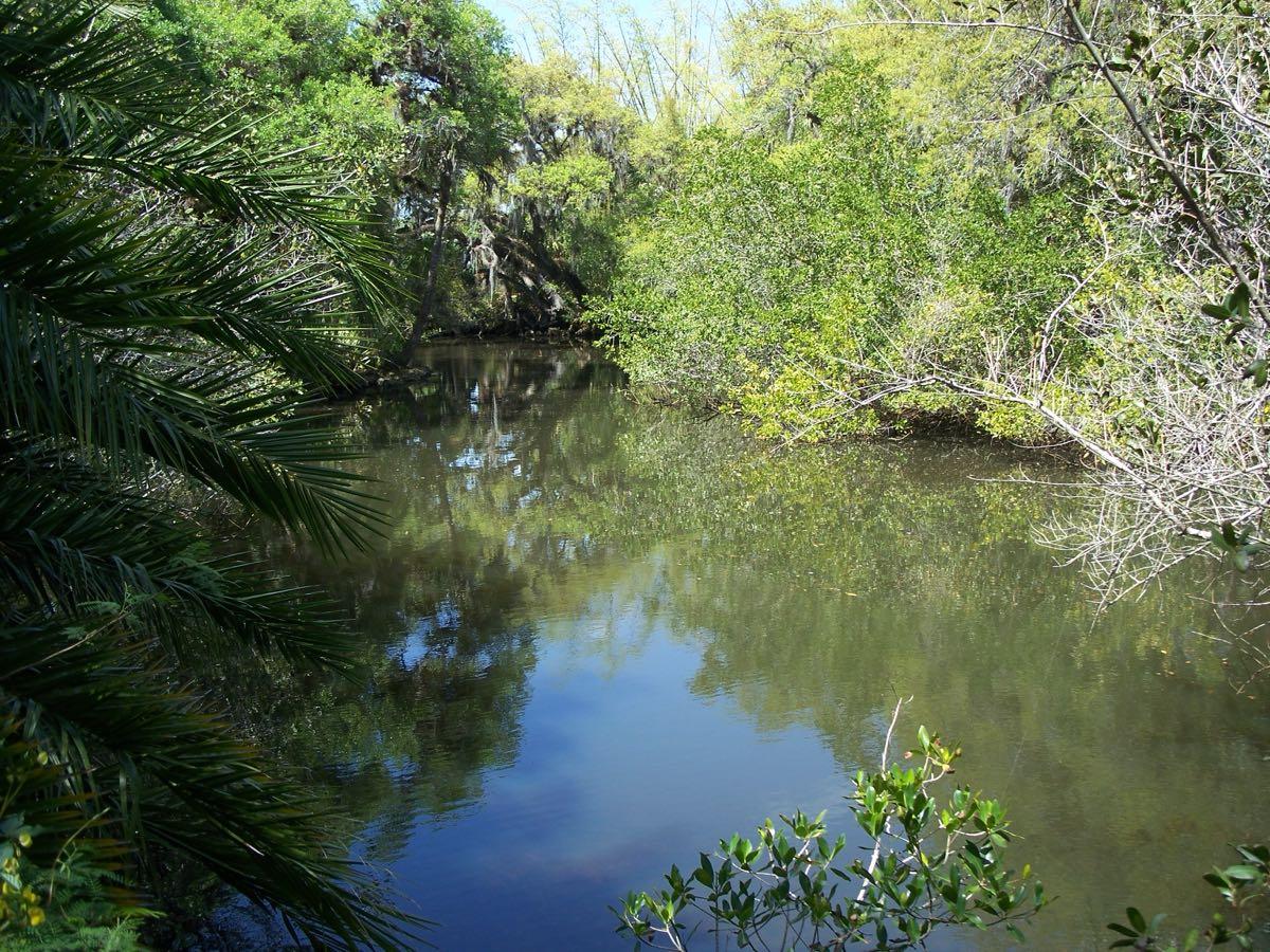
The Estero River is the historic heart of the village and flows into Estero Bay, Florida's first aquatic preserve. You can paddle from Koreshan State Park to Mound Key Archaeological State Park, a Calusa site in the bay.
Estero has no Gulf beachfront of its own; Bonita Beach, Lovers Key and Fort Myers Beach are the nearest beaches. For a home on the river or the bay, ask about depth, bridges and the dock permit.
Club homes, villas and newer construction
Expect single-family homes, villas and coach homes inside gated communities, bay-front condos and estates, and newer construction in master-planned neighborhoods.
Flood zone
Check each address on FEMA's map and the Village of Estero flood pages before you offer; the zone and elevation certificate drive the flood premium.
Club dues and capital fees
Golf communities can carry a membership, annual dues, a capital contribution on purchase and HOA fees. Ask for all of them in writing.
Insurance
Wind and homeowners coverage is the cost buyers here underestimate most. Roof age, construction and a wind mitigation report all move the quote, so get one on the actual address during your inspection period.
What insurance really costsThe all-in number
Mortgage, taxes, wind, flood, HOA or club dues and assessments together. That's the number to compare homes on, not the price.
Run the monthly cost calculatorHomes for sale
Estero homes for sale, on the map.
Live MLS listings from Naples to Cape Coral and Lehigh Acres, on a map you can move and filter. If you'd rather get a short list, tell me what you're looking for and I'll send matches by hand.
Open the map searchPlaces locals use
- Koreshan State ParkHistoric site, campground and boat ramp on the Estero River
- Mound Key Archaeological State ParkCalusa site in Estero Bay, by paddle from Koreshan
- Coconut PointOutdoor shopping center
- Miromar OutletsOutdoor outlet mall
- Hertz ArenaHome of the Florida Everblades
- Estero Bay Preserve State ParkState park trails through pine flatwoods to the Estero River
- Estero Community ParkCounty park with a recreation center, amphitheater and dog park
Roads + airports
Roads: US 41 runs through the village. Corkscrew Road connects US 41 to I-75 at Exit 123; Three Oaks Parkway runs north and south.
Airport: Southwest Florida International (RSW) is less than 5 miles north of Estero.
New stores, hospitals and roads on the way
Pick an area to see what's being built nearby and how far it is from town.
Upcoming projects
About 45 acres of homes, shops, restaurants and offices at US 41 and Coconut Rd.
Expected: First homes Q3 2027
Approximate location
Source: CoStar, as of 2026-08-28
Draft, waiting on Ale
Four lanes from Bella Terra Blvd to just east of Alico Rd, plus a new traffic signal.
Expected: End of 2026 (county estimate)
One point along the route
Source: Lee County DOT Roadwatch, as of 2025-10-30
Draft, waiting on Ale
53,000 sq ft office near the airport, with about 300 jobs.
Expected: 2027
Approximate location
Source: Business Observer, as of 2026-04-10
Draft, waiting on Ale
68-acre center on Bonita Beach Rd east of I-75, with T.J. Maxx, Ulta and Starbucks signed.
Expected: Stores begin opening late 2026
Approximate location
Source: Business Observer, as of 2026-08-31
Draft, waiting on Ale
New store on US 41 at Wiggins Pass Rd. The old building is down; construction waits on permits.
Expected: Mid-2027
Approximate location
Source: Gulfshore Business, as of 2026-06-19
Draft, waiting on Ale
Replaces the Cypress Lake Dr store. On Colonial Blvd between Metro Pkwy and Plantation Rd. No opening date announced.
Approximate location
Source: Gulfshore Business, as of 2026-08-20
Draft, waiting on Ale
53-acre hospital campus on Challenger Blvd that replaces Lee Memorial.
Expected: Late 2027 to early 2028 (sources differ)
Approximate location
Source: Business Observer, as of 2026-03-18
Draft, waiting on Ale
650,000+ sq ft building on State Road 82, toward Lehigh Acres.
Expected: 2027
Approximate location
Source: The News-Press, as of 2026-05-12
Draft, waiting on Ale
5.6-mile paved path along the Able Canal, linking Lehigh Acres parks to Harns Marsh.
Expected: Fall 2027
One point along the route
Source: WINK News, as of 2025-08-25
Draft, waiting on Ale
About 165,000 sq ft with gas, at Chiquita Blvd S near Pine Island Rd. Timing depends on Costco.
Approximate location
Source: WGCU, as of 2026-10-27
Draft, waiting on Ale
131 acres on Pine Island Rd with apartments, a hotel, shops and entertainment. Site work set to start January 2027.
Source: City of Cape Coral, as of 2026-11-08
Draft, waiting on Ale
About 200,000 sq ft cardiac and stroke center on the NCH Baker Hospital campus downtown.
Expected: Late 2027
Source: Gulfshore Business, as of 2026-05-29
Draft, waiting on Ale
82-acre plan at Davis Blvd and Santa Barbara Blvd with a Whole Foods. Still in county review.
Approximate location
Source: Gulfshore Business, as of 2026-09-04
Draft, waiting on Ale
Warehouse store with a gas station at Collier Blvd and Rattlesnake Hammock Rd. No opening date announced yet.
Approximate location
Source: Naples Daily News, as of 2026-10-14
Draft, waiting on Ale
Plans change. Details come from the linked public source as of the date shown and are not a promise. Locations are approximate and distances are straight-line from the town center.
Check schools, safety and storm zones at the source
Fair housing rules mean I don't rate schools or rank neighborhoods myself. I'm glad to point you to the same official sources families here use, and walk you through any of them.
School grades
Florida grades every public school A to F each year. Look up a school's grade and report card with the state, then confirm the assigned school for a specific address with the district, since zones can change.
Public safety
Crime statistics come from the agencies that report them. The county sheriffs and city police departments post news and contacts, and the state and the FBI publish the reported numbers.
Storm and flood safety
Hurricane evacuation zones and FEMA flood zones are different maps. Check both for any address before you make an offer.
Send me an address and I'll send you the official links for its schools, evacuation zone and flood zone. Ask about an address
Property records, taxes, flood information and city services, from the official sites:
Estero questions
When did Estero become a village?
Estero incorporated as a village in Lee County on December 31, 2014.
Does Estero have a beach?
Not on the Gulf. The nearest beaches are Bonita Beach, Lovers Key State Park and Fort Myers Beach. The village sits on the Estero River and Estero Bay.
How far is Estero from the airport?
Southwest Florida International Airport (RSW) is less than 5 miles north of Estero.